

3D Laser Scanning Benefits for Commercial Construction
Table of Contents
- What 3D Laser Scanning Brings to Commercial Construction
- Capturing Existing Conditions and As-Built Documentation
- Scan to BIM Workflow: From Point Cloud Data to Design Intelligence
- Reducing Construction Change Orders with 3D Scanning
- Laser Scanning for Restaurant Renovations and Tenant Improvements
- Safety, Coordination, and Risk Mitigation on Site
- Implementation Challenges and How to Navigate Them
- Frequently Asked Questions
Last Updated: October 4, 2026
What 3D Laser Scanning Brings to Commercial Construction
3D laser scanning construction has transformed how commercial projects capture existing conditions, validate designs, and coordinate teams across complex builds. Instead of relying on traditional tape measures and manual surveys, contractors and architects now deploy 3D laser scanning construction technology that generates millions of precise spatial measurements in minutes, creating what’s called point cloud data, a digital representation of physical space accurate to the millimeter.
At The Next Idea Group, we’ve integrated 3D laser scanning into our site survey and as-built documentation workflows for restaurants, hotels, and multi-unit franchise projects. The technology eliminates guesswork during tenant improvements and renovations, where existing conditions often differ from original drawings. A scanner captures the actual geometry of walls, ceilings, mechanical systems, and structural elements, then that data feeds directly into architectural models and BIM workflows.
The real advantage isn’t just accuracy, it’s speed and confidence. Teams make decisions based on verified measurements rather than assumptions. Change orders drop. Rework gets caught before crews mobilize. Coordination between trades improves because everyone references the same digital record of what exists on site.
Capturing Existing Conditions and As-Built Documentation
When you’re renovating a 30-year-old restaurant or designing a tenant improvement in a legacy building, existing conditions rarely match the original construction documents. Walls are out of plumb. Mechanical runs don’t follow the plan. Structural elements sit where they weren’t supposed to be. A laser scanner captures all of it.
The scanner produces a point cloud, millions of data points that define the exact shape and position of every surface in the space. That data becomes the foundation for as-built drawings, which document what actually exists before renovation begins. For restaurants planning kitchen remodels or hospitality properties adding new guest rooms, as-built documentation prevents costly field conflicts and design revisions mid-project.
The documentation also serves purposes beyond the immediate renovation. It supports future maintenance, leasing comparisons, permitting applications, and due diligence on property acquisitions. A digital record of existing conditions creates institutional knowledge that outlasts any single project, which matters when you’re managing multiple properties across different states with varying building codes and compliance requirements.
Scan to BIM Workflow: From Point Cloud Data to Design Intelligence
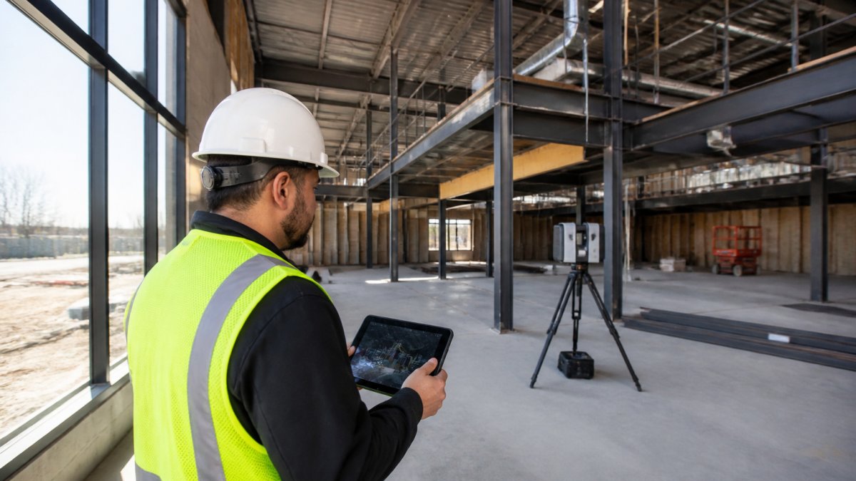
The journey from laser scan to usable architectural model follows a structured process called scan-to-BIM. The scanner generates raw point cloud data, which is then processed, cleaned, and converted into a Building Information Model, a coordinated digital representation where every element carries information about its properties, relationships, and performance characteristics.
This workflow bridges the gap between field reality and design intelligence. Raw point cloud data alone is dense and difficult to navigate. Converting it into BIM geometry creates an organized model where architects can measure, analyze, and build upon verified existing conditions. For multi-unit franchise projects, this means each location’s unique site conditions get documented in a standardized format, enabling consistent design decisions across the rollout.
The BIM model becomes the single source of truth for coordination. Structural engineers reference it to validate column locations. MEP contractors use it to route systems efficiently. General contractors plan sequencing around actual site geometry. When The Next Idea Group develops prototype designs for restaurant or hotel chains, we use scan-to-BIM to ensure that our standardized design packages account for real-world variation across locations without requiring custom redesign at each site.
Reducing Construction Change Orders with 3D Scanning
Change orders represent one of the largest cost drivers in commercial construction. Change orders typically emerge when field conditions don’t match design assumptions, requiring crews to stop work, redesign, procure new materials, and restart.
3D laser scanning eliminates a major source of change orders by validating design assumptions before construction begins. When architects and contractors reference actual existing conditions rather than assumptions, they design for reality. Mechanical systems route around actual obstacles. Structural connections account for real column spacing. Kitchen equipment fits within verified wall locations.
Calculating ROI from Change Order Reduction
To justify the scanning investment, establish a baseline: How many change orders does your typical project experience, and what does each one cost? For a mid-sized restaurant renovation or hotel tenant improvement, a single change order often runs $5,000-$25,000 when you account for design revision, field labor to investigate, material procurement delays, and schedule impact.
The calculation becomes more compelling when you factor in secondary benefits: reduced rework, faster design decisions, and improved labor productivity (crews don’t encounter surprises that halt work).
Real-World Application in Restaurant and Hospitality Renovations
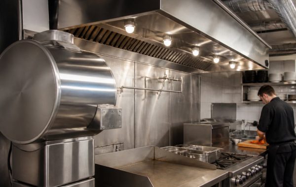
Restaurant renovations and tenant improvements present acute change-order risk because commercial kitchens demand precise spatial coordination, equipment must fit specific dimensions, utility connections must align exactly, and ventilation systems must clear structural elements.
A laser scan captures all of this before design begins. The point cloud shows the exact position of the kitchen’s existing equipment, utility drops, and clearances. It documents the actual floor-to-ceiling height, which often varies in older buildings. It reveals column locations and structural elements that might conflict with new layouts.
The documentation also supports operational planning. Knowing actual dimensions helps facility teams understand equipment clearances, maintenance access, and utility capacity before problems emerge during service. A hospitality property can use as-built documentation to train staff on emergency routes, coordinate maintenance work, and plan future expansions with confidence in actual site conditions rather than outdated plans.
Laser Scanning for Restaurant Renovations and Tenant Improvements
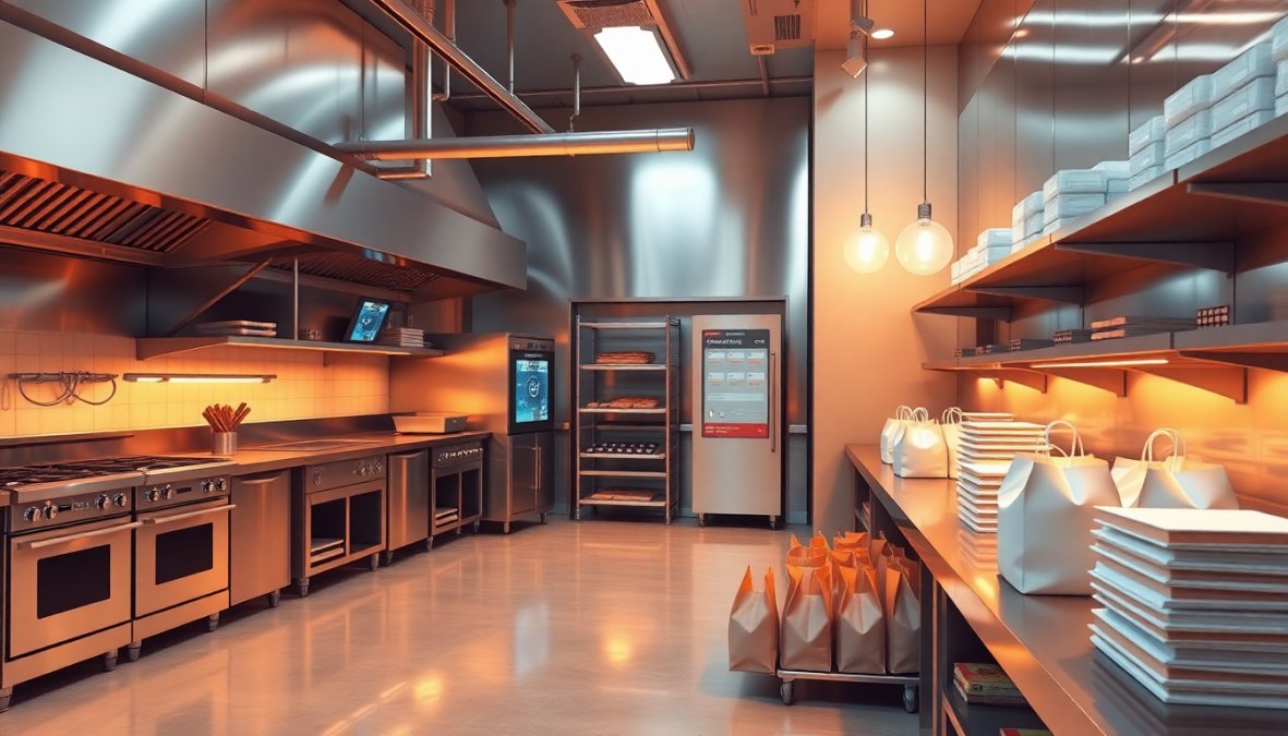
Restaurants and hospitality venues present unique challenges for renovation projects. Commercial kitchens demand precise spatial coordination, equipment must fit specific dimensions, utility connections must align exactly, ventilation systems must clear structural elements. Dining areas require accurate measurements for code compliance around egress routes and accessibility. Guest room renovations need verification of existing infrastructure before new layouts are finalized.
A laser scan captures all of this in a single pass. The point cloud shows the exact position of the kitchen’s existing equipment, utility drops, and clearances. It documents the actual floor-to-ceiling height, which often varies in older buildings. It reveals column locations and structural elements that might conflict with new layouts. For multi-unit restaurant brands rolling out new locations, scanning each site ensures that the prototype design adapts appropriately to local conditions without requiring custom engineering at each location.
The documentation also supports operational planning. Knowing actual dimensions helps facility teams understand equipment clearances, maintenance access, and utility capacity before problems emerge during service. A hospitality property can use as-built documentation to train staff on emergency routes, coordinate maintenance work, and plan future expansions with confidence in actual site conditions rather than outdated plans.
Safety, Coordination, and Risk Mitigation on Site
Construction sites involve coordinated work by multiple trades, structural, mechanical, electrical, plumbing, and specialty contractors all operating in the same space. When each trade operates from incomplete information or conflicting assumptions, conflicts emerge. A structural beam occupies space where an electrician planned to run a conduit. A mechanical chase blocks a window opening. These conflicts create safety risks, rework, and delays.
Point cloud data from 3D laser scanning provides a shared reference that all trades can access. Structural engineers see actual column positions and can verify that new framing doesn’t conflict with existing loads. MEP contractors route systems with confidence that they’re avoiding structural elements and other utilities. Specialty contractors installing kitchen equipment or hospitality systems know exact dimensions and utility locations. This coordination reduces field conflicts, which directly improves safety by eliminating improvised solutions and last-minute design changes that might compromise structural integrity or code compliance.
Risk mitigation also extends to documentation for liability and regulatory compliance. A complete as-built record from laser scanning documents existing conditions before work begins. If disputes arise about site conditions or code compliance, the scan provides objective evidence. For hospitality projects operating across multiple states, this documentation supports compliance verification with local building codes and accessibility standards, reducing regulatory risk.
Implementation Challenges and How to Navigate Them
Despite significant benefits, 3D laser scanning requires thoughtful implementation. The scanning itself is straightforward, position the device, activate the scan, and let it collect millions of data points.
Data Management and Software Integration
A single laser scan can generate gigabytes of point cloud data. Storing, sharing, and processing this data requires appropriate hardware and software infrastructure. Raw point cloud files (typically in .las or .e57 format) are dense and difficult to navigate without specialized software. Teams must choose between several integration pathways:
- Native BIM software integration: Autodesk Revit, ArchiCAD, and similar platforms now include point cloud import and alignment tools. Architects can reference the point cloud directly within the BIM model, manually tracing geometry or using semi-automated feature detection to convert point cloud data into walls, columns, and mechanical elements.
- Point cloud processing platforms: Specialized software processes raw scan data, removes noise, registers multiple scans into a unified coordinate system, and exports cleaned geometry to BIM or CAD formats.
- Cloud-based collaboration: Platforms like Autodesk Reality Capture or Matterport enable teams to upload point cloud data and access it through web browsers, reducing the need for local storage and allowing distributed teams to reference the same data without downloading gigabytes of files.
The choice depends on your team’s existing software stack and technical capacity. Working with experienced architectural and design firms, firms like The Next Idea Group that have established workflows for processing scan data and integrating it into design and construction documents, accelerates this process and reduces the learning curve.
Timing and Coordination
Scanning should occur early enough to influence design decisions but late enough that site conditions are finalized. For renovation projects, scanning before demolition captures existing conditions for reference, while post-demolition scanning documents structural realities that might affect new design.
For restaurant and hospitality projects, timing is particularly critical. Scanning during operating hours may be impractical; scheduling scans during off-hours or closure periods ensures clean data without people, furniture, or equipment obscuring structural elements. This timing constraint must be factored into the project schedule early.
Team Adoption and Training
Teams accustomed to traditional surveys and manual measurements sometimes resist shifting to digital workflows. Training and clear communication about how point cloud data and BIM models improve coordination and reduce errors helps teams embrace the technology. When general contractors see that laser-scanned data prevents field conflicts and change orders, resistance typically disappears.
Key adoption strategies include:
- Demonstrating conflict detection: Show how the point cloud reveals clashes between structural elements and planned mechanical runs before construction begins.
- Providing hands-on training: Let field supervisors and trade contractors explore the point cloud and BIM model on tablets or laptops so they understand how to reference it during construction.
- Creating clear documentation: Develop drawing sets and coordination documents that reference the point cloud data, making it easy for teams to understand what the scan shows and how to use it.
Post-Construction Lifecycle Value
One often-overlooked benefit is the value of scan data after construction concludes. The as-built point cloud and BIM model become institutional knowledge that supports facility management, maintenance planning, and future renovations.
A facility manager can reference the as-built scan to understand utility routing, structural capacity, and equipment specifications without relying on outdated paper records. When planning a kitchen upgrade or guest room renovation years later, the scan provides verified existing conditions, eliminating the need to re-survey the space.
Frequently Asked Questions
How does 3D laser scanning improve accuracy in commercial construction?
3D laser scanning captures spatial measurements with millimeter precision, eliminating guesswork in site documentation and design validation. The point cloud data creates an exact digital record of existing conditions, allowing architects and contractors to identify conflicts before construction begins. This accuracy reduces field errors, rework, and costly surprises during construction workflows.
What are the primary advantages of scan-to-BIM workflows?
Scan-to-BIM converts laser scanning data into detailed Building Information Models that integrate seamlessly into design and construction processes. This workflow accelerates project delivery, improves team coordination, and enables clash detection before work starts. For multi-unit franchise projects, scan-to-BIM ensures consistency across locations while maintaining compliance with local building codes.
Can 3D laser scanning help reduce change orders in restaurant development?
Yes. By documenting existing conditions with precision and validating design against actual site geometry, 3D scanning prevents the surprises that trigger change orders. Restaurant renovations benefit especially, since legacy systems and irregular spaces often create conflicts. Accurate as-built documentation means contractors bid confidently and project teams stay on budget.
What role does 3D laser scanning play in project safety and compliance?
Laser scanning captures spatial data that supports risk mitigation and regulatory compliance verification. Accurate site documentation helps identify safety hazards, structural concerns, and code conflicts early. This data-driven approach to construction planning reduces on-site accidents and ensures designs meet local building standards before permitting, accelerating approval timelines.